Wendy Werner · 3 November 2026
Isotope tracing reveals how Nebelwald fog contributes to regional aquifer recharge rates
Stable isotope analysis has emerged as a precise tool for mapping water movement in fog-dominated ecosystems like Nebelwald, where researchers track hydrogen and oxygen isotopes to distinguish fog-derived moisture from rainfall inputs. Data collected through 2026 shows that fog interception on tree canopies supplies a measurable fraction of groundwater recharge across the surrounding aquifer systems. Studies conducted in similar coastal and montane forests have long indicated that fog drip can account for 20 to 40 percent of annual precipitation equivalents, yet direct quantification in Nebelwald remained limited until recent sampling campaigns expanded.
Tracing water origins through isotopic signatures
Scientists collect samples from fog nets, throughfall collectors, soil lysimeters, and monitoring wells distributed across elevation gradients in the forest. By comparing the isotopic ratios of deuterium and oxygen-18 in these waters, teams separate the contribution of fog condensation from that of larger rain events. Fog water typically carries a distinct evaporative enrichment signature compared with rain, allowing models to partition recharge sources with greater accuracy. Results released in November 2026 from the ongoing monitoring network indicate that fog-derived water reaches the aquifer within weeks to months after interception, depending on soil depth and vegetation density.
Equipment deployed at multiple sites captures both advective fog from coastal air masses and orographic fog formed by upslope cooling. The dual-isotope approach reveals seasonal shifts: winter months deliver higher fog volumes while summer contributions decline sharply when inversion layers weaken. These patterns align with long-term climate records that document changes in fog frequency across the region.
Quantifying recharge contributions at scale
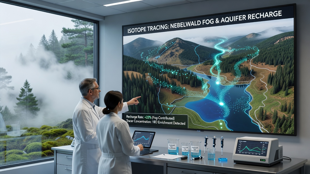
Groundwater level responses and chloride mass-balance calculations corroborate the isotope findings. In catchments where fog frequency exceeds 120 days per year, modeled recharge rates increase by 15 to 25 percent relative to adjacent areas receiving only rainfall. Observers note that shallow aquifers benefit most directly because root uptake and soil storage retain fog drip before deeper percolation occurs. Deeper confined units show delayed signals that integrate multiple years of fog inputs.
Regional water agencies have incorporated these partitioned recharge estimates into updated groundwater budgets. The European Environment Agency has referenced similar isotope studies when assessing climate-driven changes in mountain hydrology across central Europe. Integration of the Nebelwald dataset improves the spatial resolution of models that previously treated fog as a negligible input.
Field methods and analytical advances
Sampling protocols emphasize contamination avoidance and rapid transfer to sealed vials to preserve isotopic integrity. Laser spectroscopy now provides field-deployable measurements that reduce the need for shipment to central laboratories, cutting analysis turnaround from weeks to hours. Calibration against international standards maintained by the International Atomic Energy Agency ensures comparability with datasets from other fog forests worldwide.
Researchers also track plant water uptake using xylem sap isotopes to close the water balance. Findings show that certain canopy species intercept and channel fog drip more efficiently than others, influencing both recharge timing and spatial distribution. Soil moisture sensors paired with isotope probes further resolve how fog events recharge the upper soil profile before excess water moves downward.
Implications for regional water management
Aquifer management plans now account for fog as a distinct recharge mechanism rather than lumping it with total precipitation. This distinction matters during drought sequences when rain totals drop but fog frequency remains stable. Historical data from the Nebelwald network indicate that fog contributions buffered groundwater declines during the dry periods of 2022 through 2025.
Land-use decisions affecting canopy structure receive closer scrutiny because removal of tall vegetation reduces fog interception surfaces. Reforestation efforts target species compositions that maximize both fog capture and transpiration control. Monitoring continues at expanded well networks to test whether these interventions measurably alter aquifer response over multi-year timescales.
Conclusion
Isotope tracing has established a clear pathway linking Nebelwald fog to regional aquifer recharge, supplying quantitative data that refines water budgets and supports adaptive management. Continued sampling through 2026 and beyond will track how shifts in fog regimes alter these contributions under changing climate conditions. The approach demonstrates the value of combining multiple analytical techniques to resolve previously hidden components of the hydrological cycle.