Yves Griffin · 8 September 2026
Researchers Deploy Drone Surveys to Chart Fog Density Impacts on Canopy Seed Dispersal
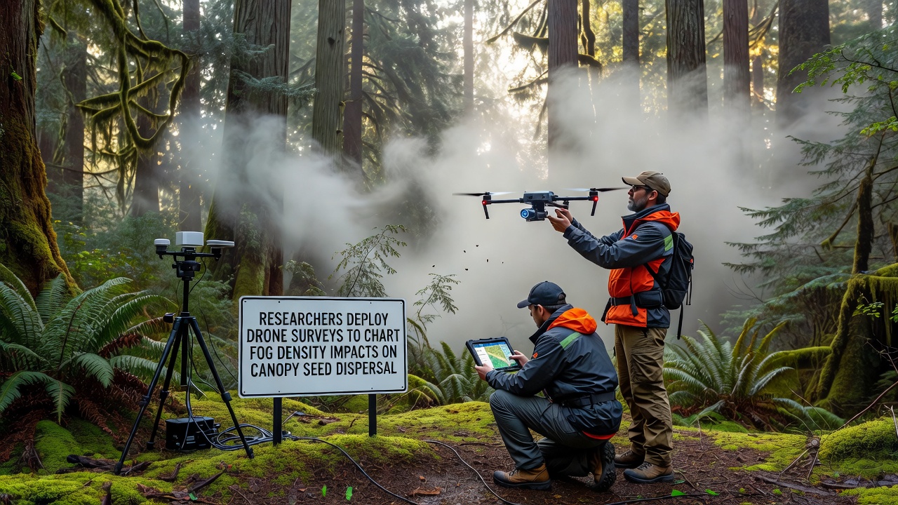
Teams of ecologists and engineers have launched extensive drone-based mapping campaigns across the Nebelwald region to measure how varying fog densities influence seed movement from forest canopies. These surveys combine multispectral imaging, LiDAR scanning, and atmospheric sensors mounted on lightweight unmanned aircraft that fly systematic grids above the treetops, collecting data on moisture levels, wind patterns, and seed trajectories in real time.
Project Background and Scope
Research initiatives in misty forest environments have tracked seed dispersal patterns for decades, yet traditional ground-based methods often miss the three-dimensional dynamics that occur within and above the canopy layer. Drone technology now allows continuous coverage over several square kilometers per flight, providing datasets that span multiple fog events throughout the season. In September 2026 the lead research consortium released its first season of integrated flight logs, which documented more than 120 individual missions conducted under controlled fog-density gradients ranging from light mist to heavy stratus layers.
Equipment includes drones fitted with forward-looking infrared cameras that detect temperature differentials created by evaporating fog droplets, while downward-facing RGB and hyperspectral units capture seed pod density and release timing. Atmospheric probes record humidity, temperature, and turbulence at one-second intervals, feeding directly into models that simulate how seeds travel once they leave the parent tree.
Methods and Data Collection
Flight paths follow pre-programmed transects that repeat at dawn, midday, and dusk to capture diurnal changes in fog formation. Each mission lasts between 25 and 40 minutes, after which onboard memory cards transfer to ground stations for immediate processing. Researchers cross-reference drone imagery with stationary weather towers positioned at canopy height, creating layered datasets that distinguish between fog trapped within the forest structure and fog that drifts above it.
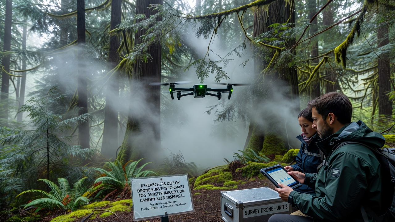
Seed tracking relies on lightweight, biodegradable tags attached to representative samaras and achenes before release. High-resolution video from the drones records tag movement, while computer vision algorithms calculate descent rates and lateral displacement. Data shows that heavier fog layers reduce vertical drop speeds by up to 35 percent in some species, allowing winds at canopy level to carry seeds farther before they reach the forest floor.
Observed Patterns in Fog and Seed Movement
Analysis of the September 2026 dataset reveals clear correlations between fog thickness and dispersal distance. In conditions where visibility drops below 80 meters, seeds from mid-canopy species travel an average of 1.8 times farther than during clear-air periods. Conversely, very dense fog that saturates the entire canopy column tends to dampen wind gusts, limiting horizontal travel despite slower descent.
Species-specific responses also appear in the records. Larger winged seeds exhibit greater sensitivity to fog-induced turbulence changes, while smaller dust-like seeds maintain more consistent trajectories across density gradients. These distinctions help refine existing dispersal kernels used in forest regeneration models maintained by agencies such as the U.S. Forest Service and the European Environment Agency.
Integration with Broader Ecological Monitoring
Drone survey outputs feed into larger regional databases that track long-term shifts in cloud immersion frequency. Collaborators at several universities supply additional ground validation plots where seed traps and microclimate loggers run continuously. The combined information supports updated projections for how altered fog regimes might affect tree recruitment rates over coming decades.
Calibration flights conducted alongside piloted aircraft have confirmed that drone-derived moisture maps align closely with traditional radiosonde readings, increasing confidence in the spatial resolution achieved. Processing pipelines now run on high-performance clusters that generate daily fog-density mosaics available to partner institutions within 48 hours of each mission.
Conclusion
Drone surveys have expanded the scale and precision of measurements linking fog density to canopy seed dispersal across the Nebelwald. Continued flights through subsequent seasons will extend the time series, allowing researchers to test model predictions against new observations and refine management guidelines for maintaining forest regeneration under changing atmospheric conditions.